Story thread · 2 reports / 1 sources
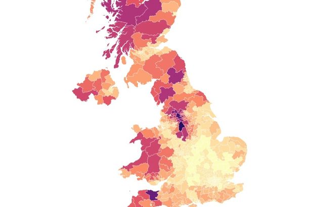
UK wildfires map shows areas most at risk from infernos as fire rages near nuclear plant
mirror.co.uk · 11d
How the coverage leans
Across 1 sources · syndicated copies counted once
Half of England is now in drought due to soaring temperatures and low rainfall, the Environment Agency has warned – and this map shows the areas most at risk of wildfires.
First report: France wildfires map shows vast infernos as thousands of tourists told to leave — mirror.co.uk, 14d
The conversation · 0
Sign in to join the conversation.
No comments yet — start the thread.